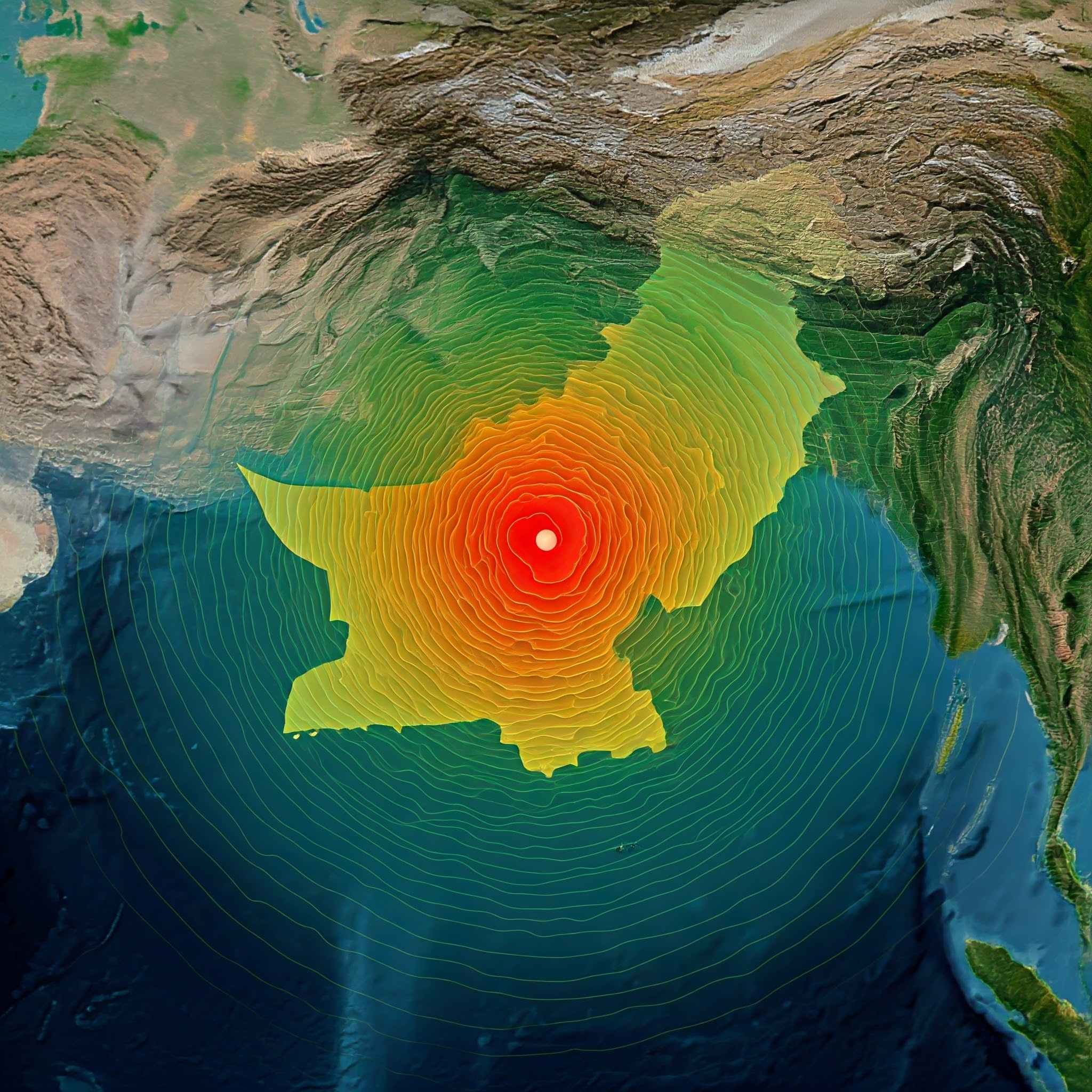
A large earthquake occurred today September 11 striking many locations in Pakistan northern India and Afghanistan. The epicenter of the 5.7–5.8 magnitude earthquake was located between 10 and 33 kilometers below the surface of Pakistan close to Dera Ghazi Khan. Major cities like Lahore and Islamabad felt the tremors as did even parts of North India including Delhi the NCR Haryana and Jammu & Kashmir. Several residents in these areas recorded strong tremors.
Although there are thankfully no current reports of extensive damage or deaths the incident alarmed others who shared their stories on social media.
Which regions of Pakistan will experience an earthquake?
Because is prone to earthquakes in various areas due to its location on several active seismic fault lines. Frequently impacted areas include:
- Pakistan’s north and west especially the regions close to the Hindu Kush and Himalayan mountains.
- Afghanistan and Gilgit-Baltistan.
- Sections of Quetta Balochistan.
- The Punjab area which includes Islamabad and Lahore is subject to frequent earthquakes.
- Earthquakes also regularly affect Karachi and Sindh although they tend to be milder in the southern areas.
Where was the worst earthquake today?
With a magnitude of 5.7 to 5.8 Pakistan experienced the strongest earthquake of the day. With Dera Ghazi Khan as its epicenter it shook portions of Afghanistan northern India and Pakistan.
Which earthquake fault line is in Pakistan?
Pakistan sits on several fault lines due to its position on the Indian and Eurasian tectonic plates. The Chaman Fault which runs along Pakistan’s western border and passes through Quetta in particular is the most major fault line. Other significant fault lines consist of:
- The Main Frontal Thrust (MFT) and Main Boundary Thrust (MBT) are located in northern Pakistan close to the Himalayas.
- The Fault of Karakoram. Pakistan is vulnerable to seismic activity due to these fault lines especially in the country’s northwest and north make Pakistan vulnerable to seismic activity.


